I might have just been bitten by the ultralight bug. Last week I tried out a new pack on the Dog Mountain trail, and the results were better than I hoped for. This post will be all about gear, so get your geek on or stop reading now.
Before Dog Mountain, I’d hiked over 400 trail miles with my tried-and-true daypack, a McKinley Mistral 28 (made in Europe). But the Mistral weighs almost two pounds, and I’m a notoriously heavy packer – extra weight is good for training, and if it fits in the pack, why not take it along? In preparation for a summer trip, I bought an REI Flash 18 to stuff in my Osprey and use as a daypack. The Flash weighs just 10 ounces and loses 10 liters of capacity to the Mistral, so I had to rethink my gear list for Dog.
I started cutting gear immediately: yaktraks, extra socks, binoculars, camera case, tripod, leatherman, a length of hemp twine, a hand towel, allergy tablets, the stale for-emergencies-only Cliff Bar in my least favorite flavor. Sure, all of these things are useful – but most of it I’d never needed, or I’d forgotten I had it with me and I’d never used it. Some of it was for seasonal use, or something else duplicated its utility. And some of it was purely useless – I can’t make tea without bringing my stove, so why bring tea bags?
 In the morning, I started packing the Flash and quickly ran into a problem – my gear, plus rain pants and jacket, three liters of water, and a 22oz Spring Reign from Ninkasi Brewing left just enough room for lunch. I’d also be carrying my wallet, keys, and CD face because I didn’t want to leave it in the truck. The Flash was getting heavy enough that I was concerned the stitching on the straps might not hold. Maybe I should take a 12oz beer instead of the 22oz… nah, some luxuries are worth it. I took a hard look at my gear and ditched the gloves and map. I removed extra batteries and packets of power gel and considered leaving the compass at home (like the map, I wouldn’t need it for this hike). I almost went through my first-aid kit and removed extra band-aids. Finally satisfied, I threw it all together and hit the road.
When I slung the pack on at the trailhead, it felt great. In fact, at first it felt like it wasn’t there. Dog Mountain is a steep, 2800ft climb in just over 3 miles – and there’s a good stretch in the middle where the trail runs fairly level, so the uphill parts are really uphill. At the top, the flowering meadows erased all the pain from the climb, and I found a cool little lunch-spot about a quarter mile west of the summit. I’d barely noticed the weight of the pack at all. My shoulders weren’t sore and I felt a lot more alert and light-footed than I’d anticipated. The true test of a pack is on the downhill return, after you’ve had your summit buzz and the scenery, while fantastic, just isn’t quite as good as at the top. Coming down is when I usually start to get tired – my feet begin to get sore, my knees begin to ache, and the thought of a thermos of coffee waiting in the truck makes the time slow way down. That happened a little bit – the Augspurger Trail can get tedious – but I felt great, at least until I took some heat and fell on my knee because of some kind of warp in time and space. Not my fault, I swear. Regardless, the Flash held up well, though minus the weight of lunch, the beer, and a lot of water.
 I spent the evening drinking beers with friends. The next morning, I was really surprised to discover I wasn’t sore at all. Dog was my most arduous hike this year, and it usually tires me out. It usually takes me a few days to work out the stiffness in my legs and shoulders, especially if I drink after the hike. But I wasn’t sore and I wasn’t stiff, and while I might be in better shape this year than I was the last time I climbed Dog, reducing the weight I carry helped out a lot.
I do have a few complaints, but they’re minor and I’ll learn to live with them. The pack only loads from the top, so getting at gear near the bottom is a bit of a hassle. The chest strap kept loosening on the uphill, requiring frequent adjustment. The hip-belt is useless for my torso. And when I wore my layers and jacket, the extra room in the pack caused my hydration tube to slip out a considerable length and swing around. It’s just not a big enough pack to carry additional winter hiking gear, and since there’s no top, it won’t do too well in rain.
These are all things I can live with. The Flash is great for what I bought it for (a lightweight daypack on backpacking trips) but it’s also a great pack for summer day-hikes. Forcing me to reconsider the gear I take, though, is probably the best thing about it. I won’t miss any of that gear, and when winter comes, I still have my trusty Mistral.
Gear List:
Pack: REI Flash 18
Marmot Precip rain shell
REI snowpants (for rain)
Wool cap
Wide-brimmed hat
MSR Dromedary (4-liter, not fully filled)
Canon PowerShot A480 camera (with 2 extra AA batteries)
First Aid kit (well-stocked)
CRKT Mt. Rainier pocketknife
Columbia watch
Aqua Mira water treatment
Petzl Tikkina headlamp (with 3 extra AAA batteries)
Mirror
Shoelace
Eye-glasses (extra pair)
Eye-glasses repair kit
Compass
Bic lighter (small)
Waterproof matches (with extra strikes)
Skunk hemp rolling papers
Toilet paper
Purell (1 fl oz)
Sunblock (1 fl oz)
EmergenC (1 packet)
Gu Energy Gel (1.1 oz)
Small garbage bags and ziplock bags
Leki Makalu trekking poles
Distance: 7.4 miles roundtrip
Elevation Gain: 2,800ft
Information: portlandhikers.org; Afoot & Afield: Portland/Vancouver, 2nd ed, by Douglas Lorain
Notes: Dogs allowed on leash. Facilities at trailhead. Northwest Forest Pass ($30) or day permit ($5 at trailhead) required. Intermittent roadwork on SR14 this summer may cause delays.
Distance From Portland: Just over 1 hour
Directions From Portland: Take I84 east to Cascade Locks and cross the Bridge of the Gods ($0.75 toll). Turn right on SR14 and drive just over 12 miles to the large turnout at milepost 53. The trail leaves the parking lot at the east end; the Augspurger trail returns in the middle of the lot.
 Mt. Hood reflected in Burnt Lake (more pictures)
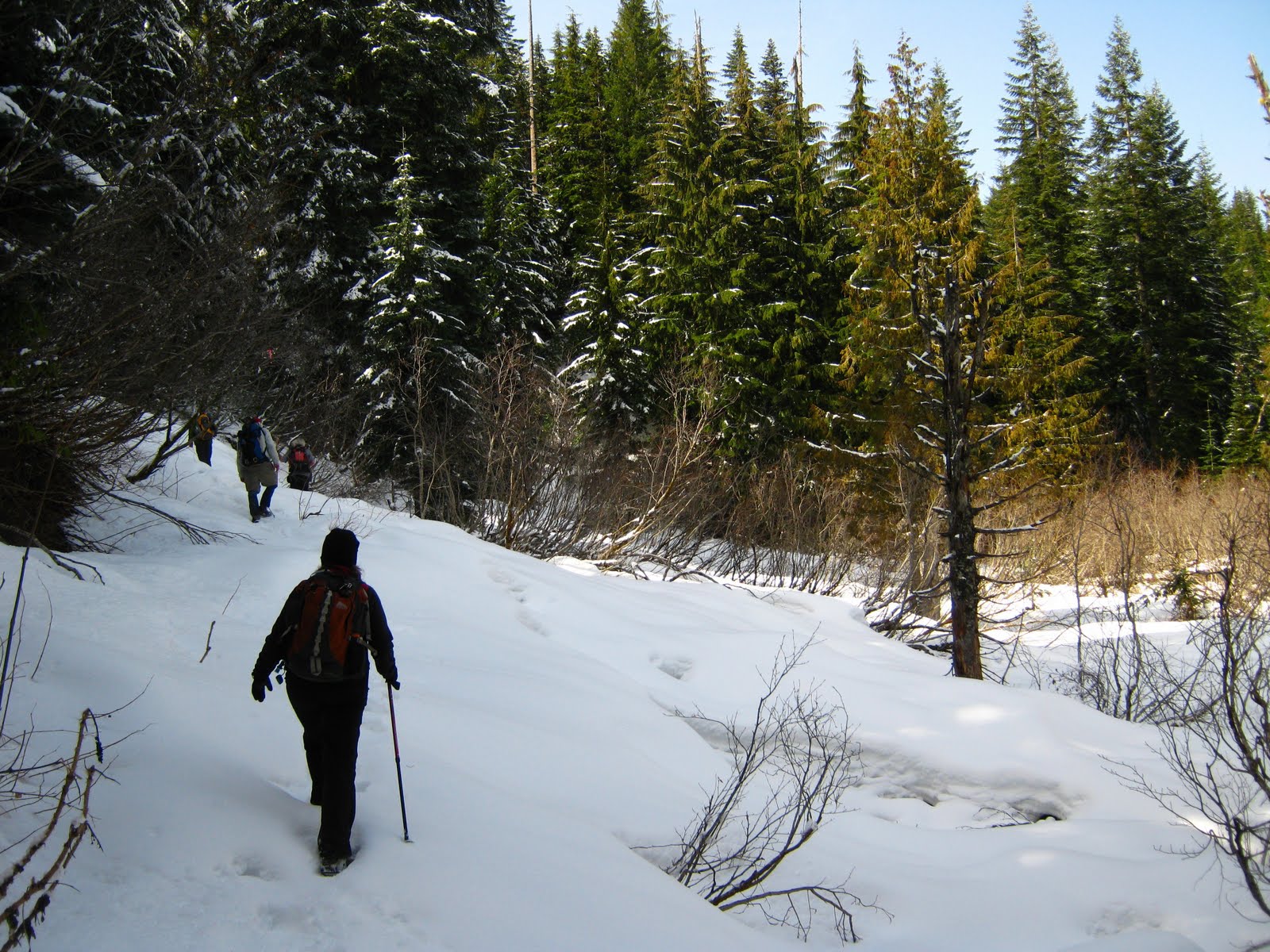 Burnt Lake is a popular summer destination, with reflective views of


