 Mt. Hood reflected in Burnt Lake (more pictures)
 Burnt Lake is a popular summer destination, with reflective views of Mt. Hood and spectacular Zigzag ridge just above it. Surprisingly, I hiked there for the first time in late winter, with a group of hikers from portlandhikers.org. The trail started in lush green forest and followed the sounds of a creek before switchbacking up to the iced-over lake at 4,125ft. Snow covered the upper half of the trail, and there was no way I’d have made it without a guide (thanks, Gene!). I thought about this hike recently while looking at the weather forecast – the mild winter made it possible to enjoy clear skies and warm temperatures while eating lunch at the edge of a frozen lake, and yet the late spring rains haven’t given me a sunny hike in months. I’ll be back to climb Zigzag, trading in wet snow falling from hemlocks for wildflower meadows and huge views. That is, if summer ever comes…
Distance: 7 miles roundtrip
Elevation Gain: 1,400ft
Region: Mt. Hood
Information: Afoot & Afield: Portland/Vancouver, 2nd ed, by Douglas Lorain; portlandhikers.org
Notes: Northwest Forest Pass ($30) or day permit ($5 at trailhead) required. There may or may not be a porta-potty at the trailhead.
Distance From Portland: 1.5 hours
Directions From Portland: Follow at your own risk – I haven’t driven here! Take Highway 26 to Zigzag and turn left on Lolo Pass Road. After 4 miles, turn right on Road 1828 (signed “Campgrounds and Trailheads”). After 0.6 miles, turn right on Road 1825 and cross the bridge over the Sandy River (Gate closed in winter). Drive past McNeil Campground (0.8 miles from Lolo Pass Road) and past the right turn to Riley Horse Camp. At mile 2.2 (from Lolo Pass Road), stay right at the left-hand intersection with 1825-100 to Ramona Falls. You’re driving on the road to Lost Creek Campgrounds; take the gravel road past the campgrounds. At mile 2.7 (from Lolo Pass Road), stay right at the unmarked fork. There are no signs until mile 3.8, where the road dead-ends at the trailhead.
 Mt. Hood reflected in Burnt Lake (more pictures)
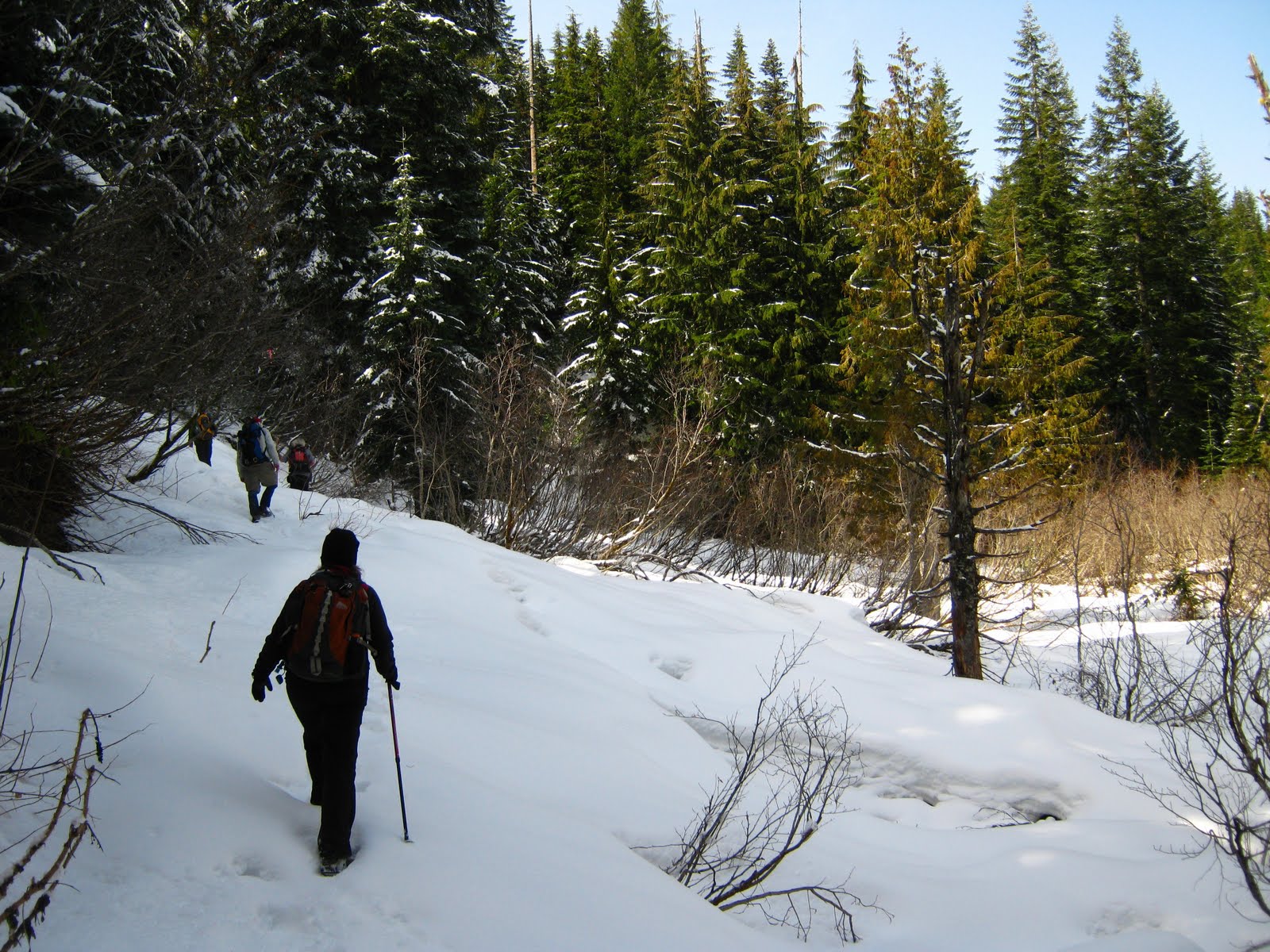 Burnt Lake is a popular summer destination, with reflective views of
No comments:
Post a Comment